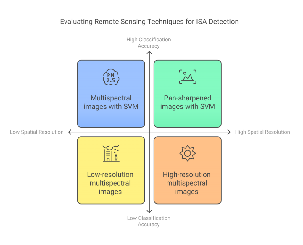
Impervious surface areas (ISA) have caused significant environmental and hydrological changes as a result of increasing population and urban expansion. This study investigated the effects of high spatial resolution images obtained using Gram-Schmidt pan-sharpening method and multispectral Landsat 8 Operational Land Imager (OLI) satellite imagery on classification accuracy for ISA detection. Support vector machine (SVM) was used to classify ISA and other surfaces in Uşak province. The classification results indicated that the overall accuracy of the pan-sharpened image was 92.5% and kappa value was 85%. Compared to the multispectral image, these values represent increases of 2.5% and 5%, respectively. The findings show that pan-sharpened satellite images are a valuable tool for ISA detection. This method can be particularly effective for environmental management and sustainable urban planning and design in urban areas. Additionally, the results of this study can be generalized to other regions with similar geographical and urban characteristics. This approach provides a foundation for more accurate mapping of ISA and more effective management of urban environments.
Kesikoglu MH. Evaluating spatial resolution enhancement on impervious surface detection using support vector machine, Res. Des. 2024; 1(1): 33-42. DOI: http://dx.doi.org/10.17515/rede2024-003bu1111rs